Dronelost.com – Weather forecasting is a vital service that affects our daily lives, our safety, and our economy. Accurate weather predictions can help us plan our activities, avoid disasters, and save resources. There is a new technology that is changing the game of weather forecasting: drones.
Drones are unmanned aerial vehicles that can fly autonomously or remotely, equipped with sensors and cameras that can collect various types of weather data. Drones can fly in places and conditions that are inaccessible or hazardous for humans, such as storms, volcanoes, and polar regions.
Drones can also fly more frequently and more precisely than other methods, providing high-resolution and real-time data. We will explore how drones are helping with weather forecasting, what are the benefits and challenges of using drones for weather data collection, and what are the future prospects of drone-based weather forecasting.
We will also share some examples of how drones are being used for weather forecasting and research around the world. By the end of this post, you will learn how drones are revolutionizing weather forecasting and why they are the future of meteorology.
What are weather drones and how do they work?
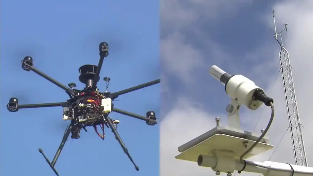
Weather drones are a special category of drones that are designed and used for weather data collection. Weather drones can vary in size, shape, and features, depending on the purpose and the environment they are flying in. Some weather drones are small and lightweight, while others are large and robust.
Some weather drones are fixed-wing, while others are rotary-wing. Some weather drones are solar-powered, while others are battery-powered. Some weather drones can fly for a few minutes, while others can fly for hours or even days.
Weather drones can carry different types of sensors and cameras that can measure various weather parameters, such as temperature, humidity, pressure, wind speed, wind direction, precipitation, cloud cover, radiation, and air quality. Weather drones can also take pictures and videos of the sky and the ground, providing visual information that can complement the numerical data.
Weather drones can collect weather data in different ways, depending on the mission and the target. One way is to fly vertically through the atmospheric boundary layer, which is the lowest layer of the atmosphere where most of the weather phenomena occur.
Another way is to fly horizontally along a predefined path or a grid, covering a large area of interest. A third way is to fly into or near a specific weather feature, such as a storm, a volcano, or a glacier, to get a close-up view of its structure and dynamics.
Weather drones can transmit the weather data they collect to a ground station or a satellite, where it can be processed, analyzed, and used for weather forecasting and research. Weather data from drones can also be combined with data from other sources, such as weather stations, weather balloons, satellites, and manned aircraft, to create a more comprehensive and accurate picture of the atmospheric conditions.
What are the benefits of using drones for weather forecasting?
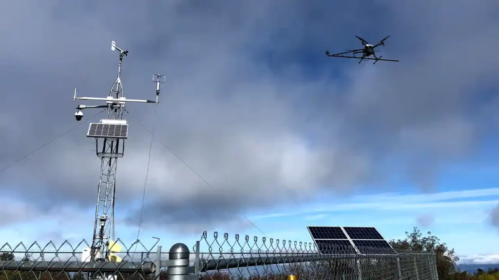
Using drones for weather forecasting has many benefits, both for the weather forecasters and the end-users. Here are some of the main benefits of using drones for weather forecasting:
- Improved accuracy: Drones can provide more accurate weather data than other methods, because they can fly closer to the weather features, measure more variables, and sample more locations and altitudes. More accurate weather data can lead to more accurate weather models and forecasts, which can improve the reliability and the confidence of the weather predictions.
- Increased coverage: Drones can cover more areas and regions than other methods, because they can fly in places and conditions that are inaccessible or hazardous for humans, such as storms, volcanoes, and polar regions. Increased coverage can help fill the gaps and reduce the uncertainties in the weather data, especially in remote and under-sampled areas of the world.
- Enhanced frequency: Drones can fly more frequently than other methods, because they are cheaper, easier, and faster to deploy and operate. Enhanced frequency can help capture the changes and the variability in the weather conditions, especially in fast-moving and short-lived weather events, such as tornadoes, hurricanes, and thunderstorms.
- Reduced cost: Drones can reduce the cost of weather data collection, because they are cheaper to buy, maintain, and operate than other methods, such as weather balloons and manned aircraft. Reduced cost can help save resources and increase the efficiency and the sustainability of the weather data collection process.
- Increased safety: Drones can increase the safety of weather data collection, because they can fly in dangerous weather conditions without risking the lives of human pilots and crew. Increased safety can help avoid accidents and injuries, and also enable more daring and adventurous weather missions.
What are the challenges of using drones for weather forecasting?
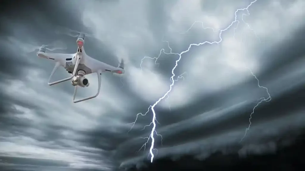
Using drones for weather forecasting also has some challenges, both technical and non-technical. Here are some of the main challenges of using drones for weather forecasting:
- Regulatory issues: Drones are subject to various rules and regulations that govern their use and operation, such as airspace restrictions, flight permissions, safety standards, and privacy concerns. Regulatory issues can limit the availability and the accessibility of drones for weather data collection, especially in crowded and sensitive areas of the world.
- Operational issues: Drones are dependent on various factors that affect their performance and functionality, such as weather conditions, battery life, communication links, and navigation systems. Operational issues can cause failures and malfunctions in drones, resulting in loss of data, damage of equipment, or even crashes and collisions.
- Data quality issues: Drones are prone to various errors and uncertainties that affect the quality and the validity of the weather data they collect, such as sensor calibration, data processing, data transmission, and data integration. Data quality issues can introduce biases and noise in the weather data, reducing its accuracy and usefulness for weather forecasting and research.
- Ethical issues: Drones are associated with various ethical and social implications that affect their acceptance and perception by the public and the stakeholders, such as environmental impact, public safety, public trust, and public engagement. Ethical issues can raise questions and concerns about the legitimacy and the responsibility of using drones for weather data collection, especially in controversial and conflict-prone areas of the world.
What are the future prospects of drone-based weather forecasting?
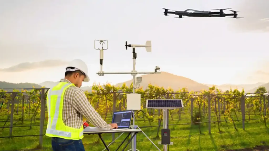
Drone-based weather forecasting is a promising and emerging field that has a lot of potential and opportunities for further development and innovation. Here are some of the future prospects of drone-based weather forecasting:
- More drones: As drone technology advances and becomes more affordable and accessible, we can expect to see more drones being used for weather data collection, both by professional and amateur weather enthusiasts. More drones can help increase the quantity and the diversity of the weather data, and also create a more collaborative and participatory weather community.
- Better drones: As drone technology improves and evolves, we can expect to see better drones being used for weather data collection, both in terms of design and functionality. Better drones can help improve the quality and the reliability of the weather data, and also enable more complex and challenging weather missions.
- Smarter drones: As drone technology integrates with artificial intelligence and machine learning, we can expect to see smarter drones being used for weather data collection, both in terms of autonomy and intelligence. Smarter drones can help optimize the efficiency and the effectiveness of the weather data collection process, and also provide more insights and feedback to the weather forecasters and the end-users.
- Greener drones: As drone technology adopts more sustainable and eco-friendly practices, we can expect to see greener drones being used for weather data collection, both in terms of energy and materials. Greener drones can help reduce the environmental impact and the carbon footprint of the weather data collection process, and also contribute to the mitigation and the adaptation of climate change.
How are drones being used for weather forecasting and research around the world?
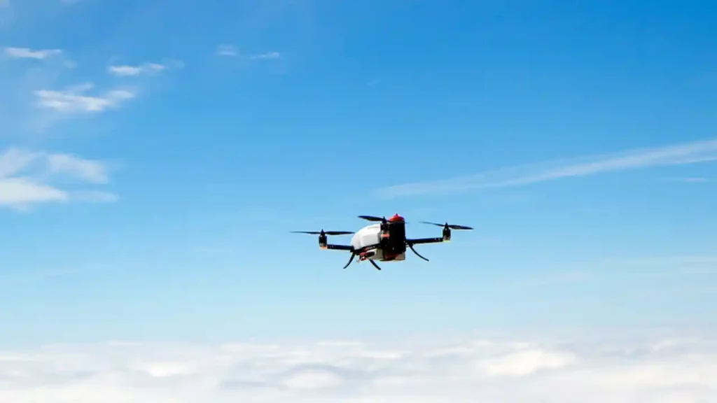
Drones are being used for weather forecasting and research in various parts of the world, for various purposes and applications. Here are some examples of how drones are being used for weather forecasting and research around the world:
- In Switzerland, a company called Meteomatics has developed a weather drone called Meteodrone, which can fly up to 5,000 meters above sea level and collect high-resolution weather data in the atmospheric boundary layer. The Meteodrone can measure temperature, humidity, pressure, wind speed, and wind direction, and transmit the data to a ground station or a satellite in real time. The Meteodrone can fly up to 100 times a day, providing frequent and accurate weather data for weather forecasting and research. The Meteodrone is being used by various customers, such as airports, energy companies, and research institutes.
- In the United States, a team of researchers from the University of Colorado Boulder has developed a weather drone called Tempest, which can fly into severe storms and collect data on their structure and intensity. The Tempest can measure temperature, humidity, pressure, wind speed, wind direction, and electric fields, and transmit the data to a ground station or a satellite in real time. The Tempest can fly up to 200 kilometers per hour, and withstand strong winds, rain, and hail. The Tempest is being used to study the formation and evolution of tornadoes, hurricanes, and thunderstorms.
- In Iceland, a company called Iceye has developed a weather drone called Iceye-X1, which can fly over glaciers and ice caps and collect data on their surface and subsurface conditions. The Iceye-X1 can take synthetic aperture radar (SAR) images, which can penetrate clouds and darkness, and provide high-resolution and high-contrast images of the ice features. The Iceye-X1 can fly up to 500 kilometers per hour, and operate in extreme temperatures and altitudes. The Iceye-X1 is being used to monitor the changes and the impacts of the ice melt on the climate and the environment.
- In Australia, a team of researchers from the University of Queensland has developed a weather drone called UQ-Flamingo, which can fly over coral reefs and collect data on their health and diversity. The UQ-Flamingo can take multispectral images, which can capture the colors and the patterns of the corals, and provide information on their bleaching and disease status. The UQ-Flamingo can fly up to 60 kilometers per hour, and hover over the water surface. The UQ-Flamingo is being used to assess the effects and the recovery of the coral reefs from the mass bleaching events caused by the warming of the ocean.
How can you use drone-based weather forecasting for your own benefit?
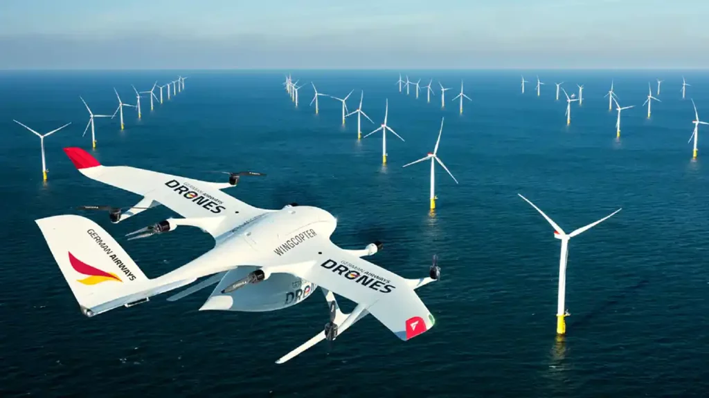
Drone-based weather forecasting is not only useful for weather forecasters and researchers, but also for you and me. Here are some ways that you can use drone-based weather forecasting for your own benefit:
- Plan your activities: You can use drone-based weather forecasting to plan your daily or weekly activities, such as work, travel, leisure, and sports. You can check the weather conditions and the weather predictions for your location and destination, and decide the best time and place to do your activities. You can also avoid or prepare for any weather hazards or disruptions that might affect your plans.
- Protect yourself and others: You can use drone-based weather forecasting to protect yourself and others from any weather-related risks or dangers, such as floods, fires, landslides, and heat waves. You can get alerts and warnings from drone-based weather forecasting, and take the necessary actions to evacuate, shelter, or rescue yourself and others. You can also follow the advice and the instructions from drone-based weather forecasting, and stay safe and secure during and after the weather events.
- Save money and resources: You can use drone-based weather forecasting to save money and resources that might be wasted or damaged by the weather, such as energy, water, food, and property. You can optimize your consumption and usage of these resources, and reduce your expenses and losses. You can also invest in or insure against these resources, and increase your income and profits.
- Learn and explore: You can use drone-based weather forecasting to learn and explore more about the weather and the climate, and how they affect our lives and our planet. You can access and analyze the weather data and the weather images from drone-based weather forecasting, and gain more knowledge and understanding of the weather phenomena and processes. You can also participate and contribute to the weather data collection and the weather research, and become more involved and engaged in the weather community.
In conclusion, drones are revolutionizing weather forecasting by providing more accurate, more frequent, more comprehensive, and more cost-effective weather data than other methods. Drones are also enabling more innovative and adventurous weather missions, and opening new horizons and possibilities for weather forecasting and research.
Drones are also benefiting us, the end-users, by helping us plan our activities, protect ourselves and others, save money and resources, and learn and explore more about the weather and the climate. Drones are the future of weather forecasting, and we should embrace and support them.
